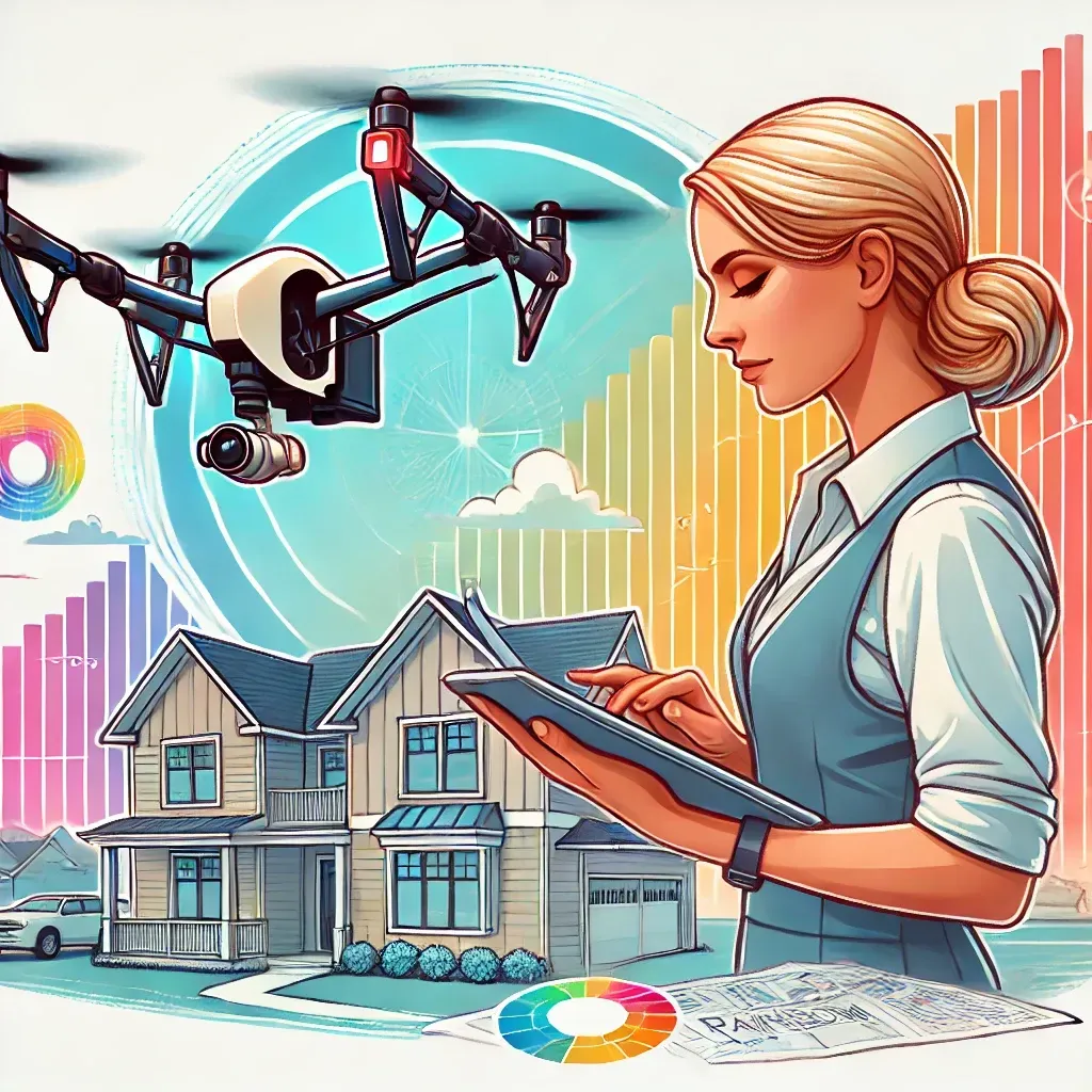
Utilizing advanced technology like GCPs, RTK modules, and high-end enterprise drones for precise mapping.
In today's fast-paced world, precision mapping is essential for various industries, including construction, agriculture, and environmental monitoring. With the advancement of drone technology, achieving high levels of accuracy and precision in mapping has become more accessible and efficient. This blog post explores the high-tech tools that enhance precision mapping, including Ground Control Points (GCPs), RTK modules, and high-end enterprise drones.
What are Ground Control Points (GCPs) and how do they improve mapping accuracy?
GCPs are physical markers placed on the ground and precisely located using GPS technology. They serve as reference points to correct positional errors in the drone's data, enhancing the accuracy of the final map.
How does an RTK module increase the precision of drone mapping?
An RTK module provides real-time corrections to the drone's GPS data, allowing for centimeter-level accuracy during the mapping process. This real-time correction ensures highly precise data collection.
What types of projects benefit most from precision mapping with drones?
Precision mapping with drones is beneficial for construction, agriculture, environmental monitoring, and any project that requires detailed and accurate spatial data.
What makes high-end enterprise drones better for precision mapping?
High-end enterprise drones are equipped with advanced sensors and imaging technology, capable of capturing high-resolution images and detailed data. They are designed for professional use, ensuring high-quality data collection.
How can I get started with precision mapping for my project?
To get started, simply contact me through my website or give me a call. We can discuss your project requirements and how my precision mapping services can help you achieve your goals.
Precision mapping with drones has revolutionized the way we collect and analyze spatial data. By incorporating Ground Control Points (GCPs) and RTK (Real-Time Kinematic) modules, drones can achieve centimeter-level accuracy, making them indispensable for projects that demand high precision. The use of high-end enterprise drones further enhances the quality of data collected, ensuring that every detail is captured accurately.
Ground Control Points are physical markers placed on the ground and precisely located using GPS technology. These points serve as reference locations that help correct any positional errors in the drone's data, significantly improving the accuracy of the final map. RTK modules, on the other hand, provide real-time corrections to the drone's GPS data, allowing for even greater precision during the mapping process.
High-end enterprise drones, such as the Autel Evo Max 4T, come equipped with advanced sensors and imaging technology, capable of capturing high-resolution images and detailed data. These drones are designed for professional use, ensuring that the data collected is of the highest quality.
By leveraging these high-tech tools, precision mapping with drones offers numerous benefits. Accurate mapping is crucial for creating detailed site plans, monitoring agricultural fields, and conducting environmental assessments. The ability to obtain precise data quickly and efficiently helps project managers make informed decisions, reducing the risk of errors and ensuring the success of their projects.
If you are looking to enhance your project's precision and accuracy with state-of-the-art drone mapping technology, contact me today to learn more about my services and how I can help you achieve your goals.
Beyond the Horizon


Email Us
Prefer to write? Drop us an email with your queries or project details. We'll get back to you promptly.
Get Social
Stay updated with our latest projects and news. Follow us on social media.