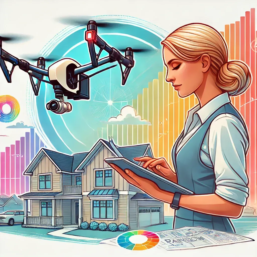
Aerial Mapping and Surveying
Aerial Mapping and Surveying Services
Aerial mapping provides precise and comprehensive data, enhancing decision-making and efficiency for various industries, from real estate to environmental monitoring.
What is aerial mapping and surveying?
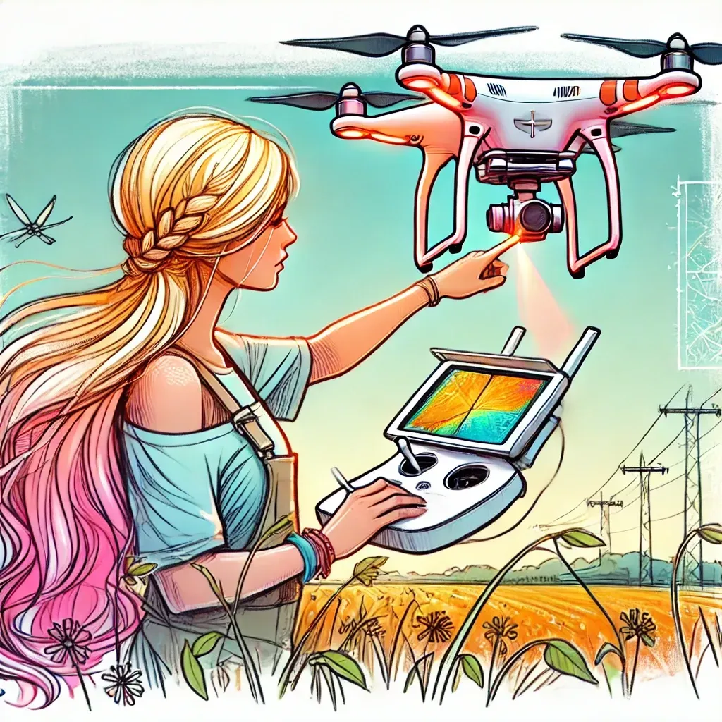
Aerial mapping and surveying involve using advanced drone technology to capture high-resolution images from the air, which are then used to create detailed maps and 3D models. These services are crucial for a wide range of applications, including environmental monitoring, real estate development, and large-scale agricultural planning.
How accurate is your drone-based aerial mapping?
My drone-based aerial mapping can achieve remarkable accuracy, typically within a few centimeters, depending on the equipment used and environmental conditions. I ensure the highest level of precision for all projects, large or small.
Can aerial mapping be used for environmental conservation efforts in Southern California?
Absolutely, aerial mapping is an invaluable tool for environmental conservation, providing detailed data on land use, vegetation cover, and erosion that are vital for effective management and protection of natural resources, particularly in ecologically diverse areas like Southern California.
What are the cost benefits of using drones for aerial mapping and surveying?
Using drones for projects offers numerous benefits, including enhanced project visualization, accurate site inspections, and the ability to monitor construction progress in real-time. This technology provides a comprehensive view that can help identify potential issues early, saving time and resources.
My drone services provide significant cost savings by reducing the need for physical manpower, decreasing the time spent on site, and minimizing safety risks. This approach not only cuts down overall project costs but also delivers high-quality data and imagery much faster than traditional methods.
Do you need a Part 107 certification to operate drones for aerial mapping and surveying?
Yes, operating drones for any commercial purpose, including aerial mapping and surveying, requires a Part 107 certification from the FAA. I am fully certified, which not only ensures compliance with federal regulations but also guarantees that I operate with the highest standards of safety and professionalism.
Can aerial mapping and surveying be customized for different project needs?
Absolutely. I tailor my aerial mapping and surveying services to meet the unique needs of each client, whether you're managing a large-scale agricultural operation, developing real estate, or conducting environmental studies. With advanced planning and targeted data collection, I provide actionable insights that are specific to your project's requirements.
Aerial Drone Mapping and Surveying services are a blend of the magic of technology with a personal touch. Tailored for industries ranging from construction and agriculture to real estate and environmental management, aerial surveying and mapping is more than just about capturing breathtaking aerial imagery. It's about delivering unmatched precision, insight, and efficiency to your projects.
Utilizing state-of-the-art drone technology, I personally ensure that every high-resolution map and 3D model I produce meets the highest standards of quality and accuracy. With Rainbow Creations, you're not just getting data; you're gaining a strategic advantage through detailed analysis and supportive insights that facilitate informed decision-making, streamline operations, and monitor progress with unparalleled accuracy.
My services are invaluable for a wide range of applications:
- Building Inspections: Detect heat loss, insulation gaps, and moisture intrusion in buildings to improve energy efficiency and prevent mold growth.
- Electrical Inspections: Identify hot spots in electrical panels and equipment that could lead to failures or fire risks.
- Mechanical Systems: Monitor and diagnose issues with mechanical systems by detecting heat patterns that signify wear or failure.
- Energy Audits: Conduct comprehensive energy audits to help facilities reduce energy consumption and lower operational costs.
- Environmental Studies: Use thermal imaging in environmental conservation to monitor wildlife or detect water pollution sources.
- Landfills: Monitor and manage landfill temperatures to prevent fires and ensure environmental compliance. Thermal imaging can detect subsurface hotspots that are not visible to the naked eye.
- Military Applications: Support military operations by providing detailed thermal scans that can be used for surveillance, security assessments, and equipment checks, enhancing operational safety and strategic planning.
- Agriculture: Help farmers and agricultural managers detect irrigation issues, analyze crop health, and manage livestock. Thermal imaging can identify areas needing water or detect diseased crops before visible symptoms appear.
- Environmental Monitoring: Utilize thermal imaging for environmental conservation efforts, including tracking animal populations during nocturnal hours and detecting illegal hunting or poaching activities by their heat signatures.
Industries and Applications

"You're gaining a strategic advantage through detailed analysis and supportive insights"
From construction site planning to precision agriculture, our Aerial Drone Mapping and Surveying service offers a versatile solution for a wide range of industries. With our advanced drones, we can capture high-resolution images and create detailed maps and models that provide valuable insight into your projects.
In the construction industry, our service can aid in site planning, monitoring progress, and identifying potential issues before they become costly problems. For agriculture, our aerial imagery can help with crop monitoring, yield prediction, and precision farming techniques. In real estate, our service can provide stunning aerial views of properties for marketing purposes.
Our Aerial Drone Mapping and Surveying service also has benefits for environmental management, offering a non-invasive way to survey and monitor ecosystems, wildlife habitats, and natural resources. We utilize the latest technology and methods to ensure accurate data collection.


Beyond the Horizon