3D mapping and modeling provide detailed visualizations that enhance decision-making and project planning, transforming data into valuable insights.
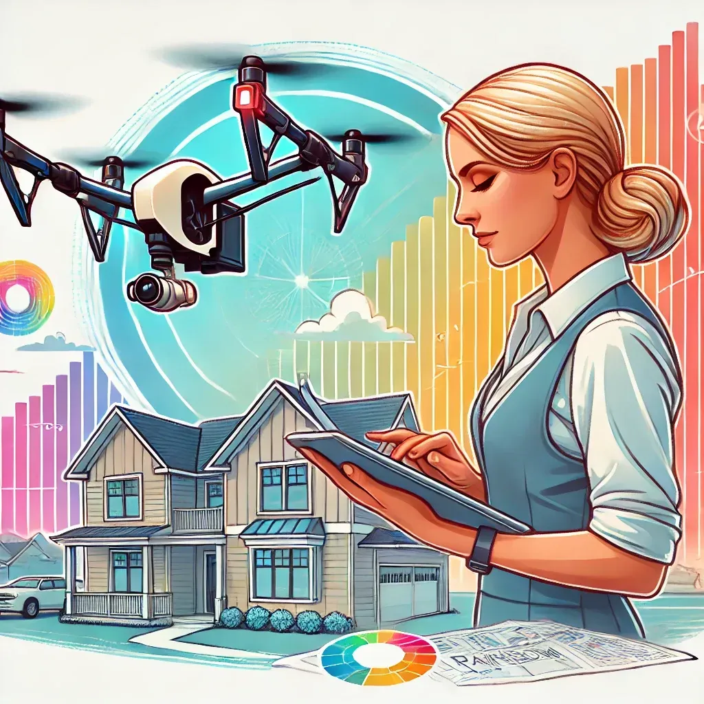
In today’s technology-driven world, 3D mapping and modeling have become essential tools for various industries. From construction and urban planning to environmental monitoring and disaster management, these technologies provide detailed visualizations that enhance decision-making and project planning. This blog post explores the benefits of professional 3D mapping and modeling services and how they can transform your data into actionable insights.
What types of 3D mapping and modeling services do you offer?
I offer construction site mapping, urban planning, environmental monitoring, disaster management, land surveying, and custom projects.
Why should I hire a professional drone operator for 3D mapping and modeling?
A professional drone operator ensures that your 3D mapping and modeling projects are executed with precision, using advanced equipment and expertise to provide accurate and detailed visualizations.
How can 3D mapping and modeling benefit my project?
3D mapping and modeling provide detailed visualizations that enhance decision-making, project planning, and data analysis, making them essential for various industries.
What equipment do you use for 3D mapping and modeling?
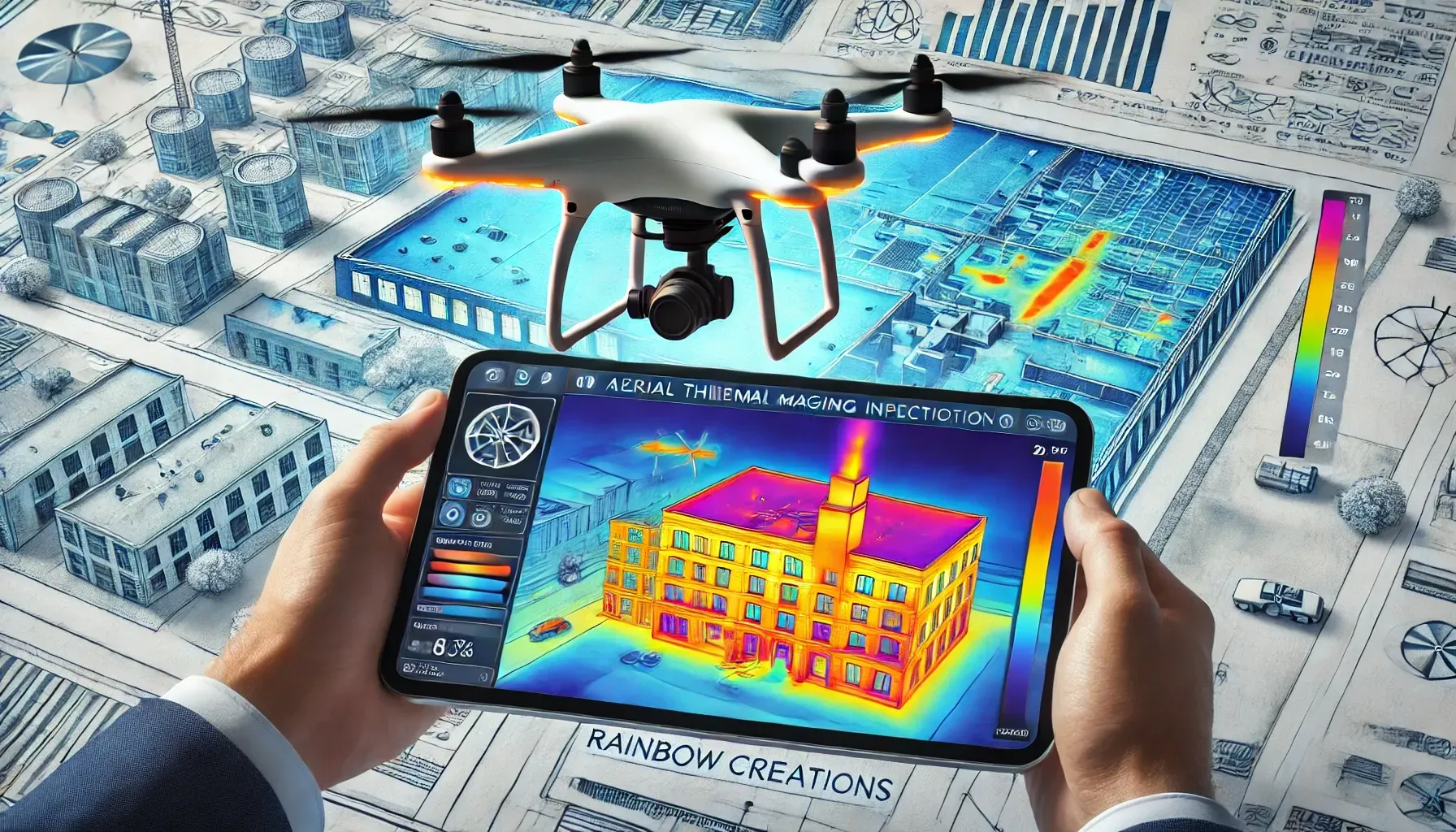
I use state-of-the-art drone technology equipped with high-resolution cameras, LiDAR sensors, and advanced photogrammetry software to capture and process data accurately.
Do you offer custom 3D mapping and modeling projects?
Yes, I offer custom 3D mapping and modeling projects tailored to meet your specific needs and project requirements.

3D mapping and modeling offer unparalleled accuracy and detail, allowing professionals to visualize and analyze complex data with ease. These services are crucial for projects that require precise measurements, detailed topographical data, and comprehensive environmental assessments. Whether you're planning a construction project, conducting a land survey, or monitoring environmental changes, 3D mapping and modeling provide the insights you need.
At Rainbow Creations, I offer comprehensive 3D mapping and modeling services using advanced drone technology. My services include:
- Construction Site Mapping: Providing detailed topographical maps and 3D models for construction planning and monitoring.
- Urban Planning: Creating accurate 3D models of urban areas to assist in planning and development.
- Environmental Monitoring: Mapping natural landscapes to monitor environmental changes and assess impact.
- Disaster Management: Generating 3D models of affected areas to aid in disaster response and recovery efforts.
- Land Surveying: Conducting precise land surveys to support various projects, from real estate to agriculture.
- Custom Projects: Tailored 3D mapping and modeling solutions to meet specific client needs and project requirements.
Equipment Used: I use state-of-the-art drone technology equipped with high-resolution cameras, LiDAR sensors, and advanced photogrammetry software to capture and process data. This technology ensures that the 3D maps and models I produce are accurate, detailed, and reliable.
Working with a professional drone operator ensures that your 3D mapping and modeling projects are executed with precision and expertise. With a commitment to excellence and a deep understanding of drone technology, I deliver high-quality services that transform your data into valuable insights.
Ready to elevate your project with detailed 3D mapping and modeling? Contact me today to learn more about my services and how I can help you achieve your goals.
Beyond the Horizon


Email Us
Prefer to write? Drop us an email with your queries or project details. We'll get back to you promptly.
Get Social
Stay updated with our latest projects and news. Follow us on social media.