3D Mapping and Modeling
3D Mapping and Modeling
Aerial mapping and modeling deliver precise, high-resolution 3D maps and models, enabling detailed analysis and informed decision-making for industries such as construction, agriculture, and environmental monitoring.
What types of 3D mapping and modeling services do you offer?
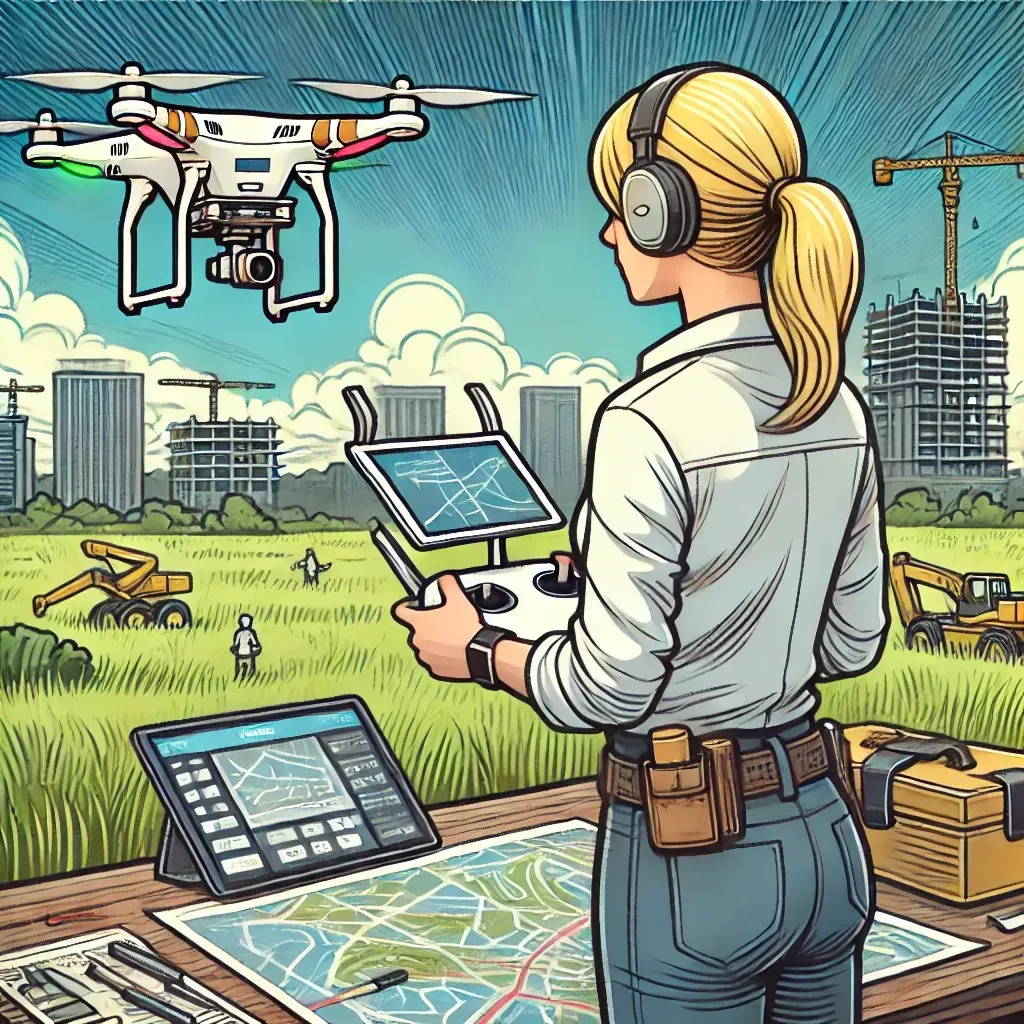
I offer construction site mapping, urban planning, environmental monitoring, disaster management, land surveying, and custom projects.
Why should I hire a professional drone operator for 3D mapping and modeling?
A professional drone operator ensures that your 3D mapping and modeling projects are executed with precision, using advanced equipment and expertise to provide accurate and detailed visualizations.
How can 3D mapping and modeling benefit my project?
3D mapping and modeling provide detailed visualizations that enhance decision-making, project planning, and data analysis, making them essential for various industries.
Are your thermal imaging services safe and non-invasive?
Absolutely. My services are completely non-invasive, causing no disruption to your daily operations. I prioritize safety and comply with all regulations to ensure a secure environment during thermal assessments.
What equipment do you use for 3D mapping and modeling?
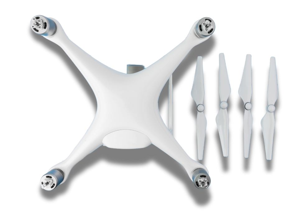
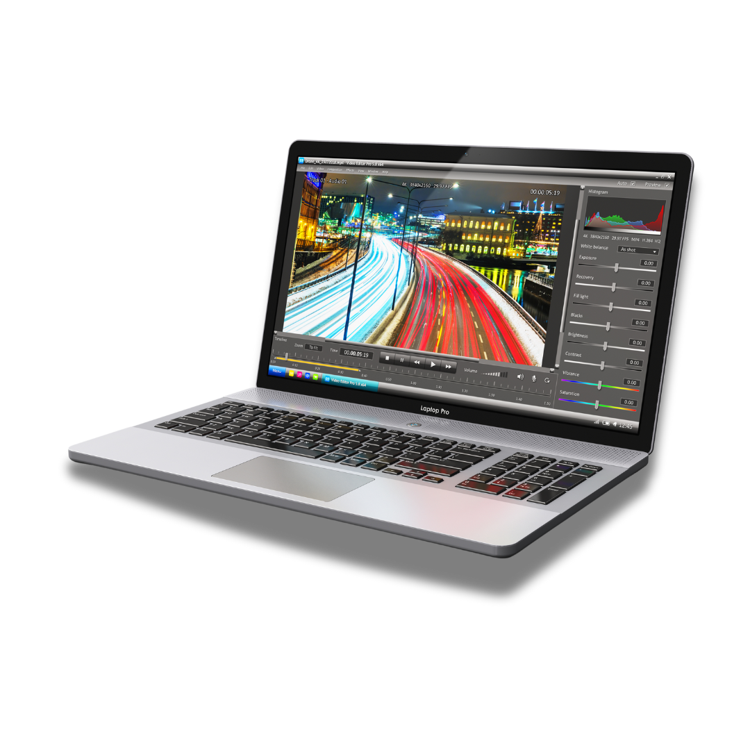
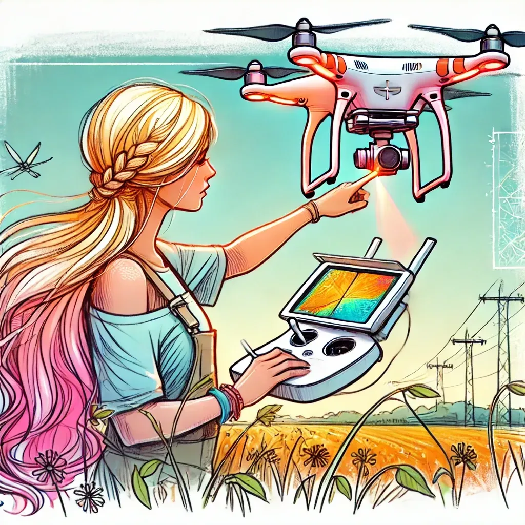
I use state-of-the-art drone technology equipped with high-resolution cameras, LiDAR sensors, and advanced photogrammetry software to capture and process data accurately.
Do you offer custom 3D mapping and modeling projects?
Yes, I offer custom 3D mapping and modeling projects tailored to meet your specific needs and project requirements.
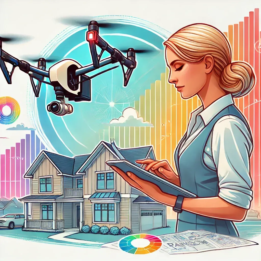
In today’s technology-driven world, 3D mapping and modeling have become essential tools for various industries. From construction and urban planning to environmental monitoring and disaster management, these technologies provide detailed visualizations that enhance decision-making and project planning. This blog post explores the benefits of professional 3D mapping and modeling services and how they can transform your data into actionable insights.
What is 3D Mapping and Modeling?
3D mapping and modeling involve using advanced drone technology to capture detailed data and create three-dimensional representations of landscapes, structures, and environments. These visualizations provide accurate measurements, detailed topographical data, and comprehensive assessments that are invaluable for a range of applications. By transforming raw data into detailed 3D models, these services offer a deeper understanding of complex projects.
My services are invaluable for a wide range of applications:
- Building Inspections: Detect heat loss, insulation gaps, and moisture intrusion in buildings to improve energy efficiency and prevent mold growth.
- Electrical Inspections: Identify hot spots in electrical panels and equipment that could lead to failures or fire risks.
- Mechanical Systems: Monitor and diagnose issues with mechanical systems by detecting heat patterns that signify wear or failure.
- Energy Audits: Conduct comprehensive energy audits to help facilities reduce energy consumption and lower operational costs.
- Environmental Studies: Use thermal imaging in environmental conservation to monitor wildlife or detect water pollution sources.
- Landfills: Monitor and manage landfill temperatures to prevent fires and ensure environmental compliance. Thermal imaging can detect subsurface hotspots that are not visible to the naked eye.
- Military Applications: Support military operations by providing detailed thermal scans that can be used for surveillance, security assessments, and equipment checks, enhancing operational safety and strategic planning.
- Agriculture: Help farmers and agricultural managers detect irrigation issues, analyze crop health, and manage livestock. Thermal imaging can identify areas needing water or detect diseased crops before visible symptoms appear.
- Environmental Monitoring: Utilize thermal imaging for environmental conservation efforts, including tracking animal populations during nocturnal hours and detecting illegal hunting or poaching activities by their heat signatures.
Industries and Applications
3D mapping and modeling provide detailed visualizations that enhance decision-making and project planning, transforming data into valuable insights.
Why Choose Rainbow Creations?
At Rainbow Creations, I use state-of-the-art drone technology equipped with high-resolution cameras, LiDAR sensors, and advanced photogrammetry software to capture and process data accurately. Working with a professional drone operator ensures that your 3D mapping and modeling projects are executed with precision and expertise. With a commitment to excellence and a deep understanding of drone technology, I deliver high-quality services that transform your data into valuable insights..
Contact Rainbow Creations Today
Ready to elevate your project with detailed 3D mapping and modeling? Contact me today to learn more about my services and how I can help you achieve your goals.


Beyond the Horizon